
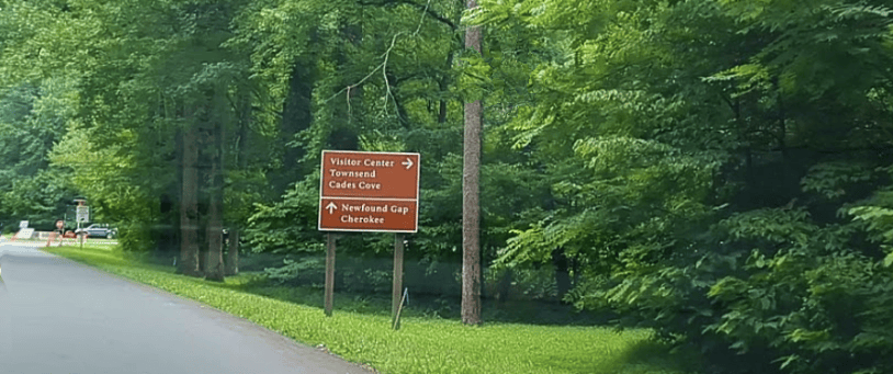
Fall color in the Smokies doesn’t arrive all at once. It starts high on the ridges and works its way down to the valleys, giving you several weeks to enjoy it.
Color can begin at the highest elevations in mid-September. By early to mid-October, it usually develops above 4,000 feet. Lower elevations often look their best from mid-October into early November. Weather can change the timing, so check conditions before you go and keep a backup destination in mind.
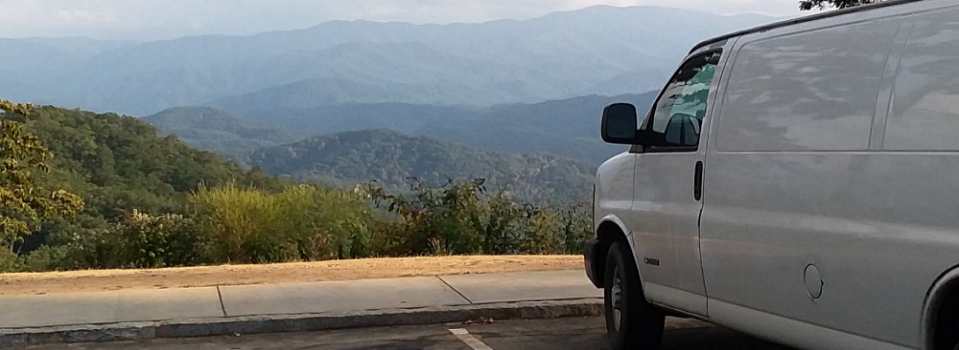
A scenic drive is one of my favorite ways to enjoy the changing color. Here are four options:
- Newfound Gap Road
U.S. Route 441 (Newfound Gap Road) connects Gatlinburg, Tennessee, and Cherokee, North Carolina. The road climbs from Gatlinburg, at about 1,300 feet, to Newfound Gap, at 5,046 feet, before descending toward Cherokee. Some stretches have long, steep grades. Bring a jacket—the temperature at the gap can be much cooler than it is in Gatlinburg. - Foothills Parkway
Despite being commissioned in 1944, the route remains the only parkway in the state to never be completed. There are overlooks and sweeping views of the national park. Only 37 miles are open to the public. It’s also a quieter drive than most of the Smokies. Segments open to the public include Cosby to I-40; Walland to Wears Valley, and Chilhowee to Walland. Look Rock Tower is between miles 14 and 15. The trail is paved but has mild to moderate inclines. The tower has sweeping views of the mountains and Blount County. I have a mobility issue and usually skip it, but it was beautiful. - Great Smoky Mountains National Park
Cades Cove is a one way loop road that pairs open valley views, historic buildings and wildlife. I’ve seen bears, deer, wild turkey, coyotes and other animals. It is the most popular part of the park and fall is the peak season. There are no restaurants in Cades Cove. You’ll need to bring a picnic and snacks. Also, please remember that cell phone service is spotty through the Appalachian Mountains due to terrain. - Gatlinburg
Roaring Fork Motor Nature Trail: This 5.5-mile seasonal road is easily accessible from Gatlinburg. The narrow one-way road winds past old-growth forest, streams, and historic structures. A waterfall awaits you near the end of the drive at Place of a Thousand Drips. (Yes, that is the official name.) Buses, trailers, and motor homes are not permitted on Roaring Fork Motor Nature Trail. Leave the RV or trailer elsewhere and explore it in a passenger vehicle.
Trip Tips
Begin early in the day or go later in the afternoon, and use designated parking areas. If you park in the national park for more than 15 minutes, you’ll need a physical parking tag. As of September 2026, tags cost $5 daily, $15 weekly, or $40 annually. A tag doesn’t guarantee a space though.
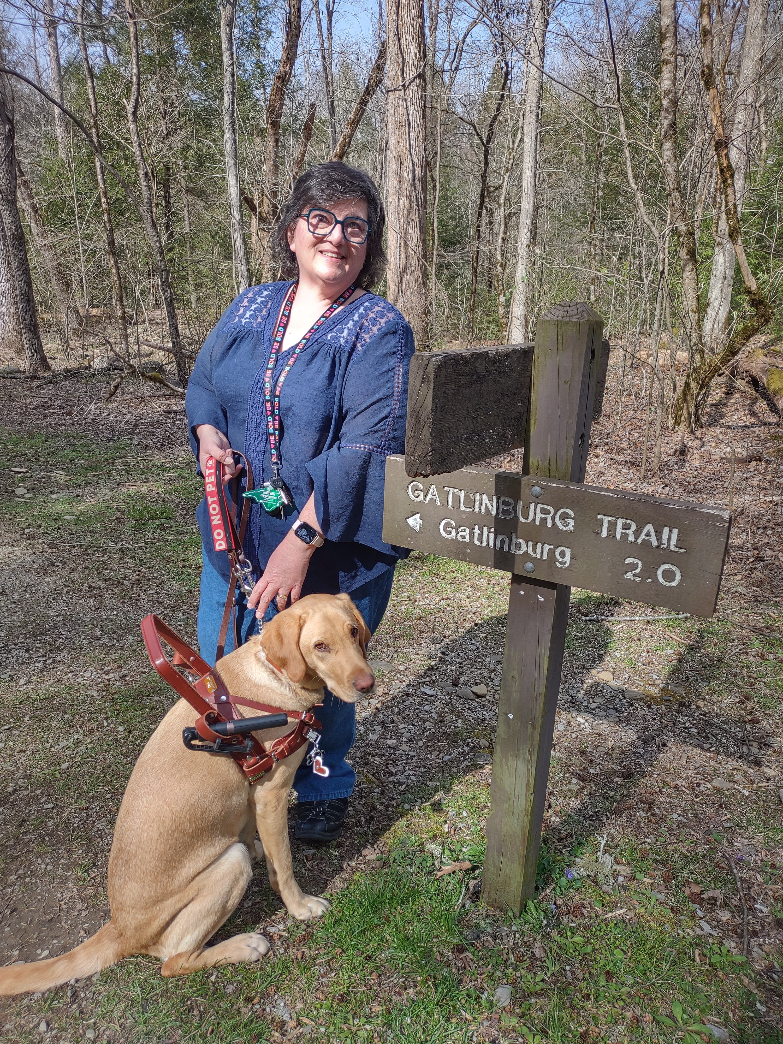
Pack layers, water, snacks and any medication that you need. Phone service can be limited in the mountains. Download a map to your phone for offline access. Or, order a Rand McNally atlas from Amazon or Walmart. Check park conditions before leaving; Laurel Falls Trail is closed for rehabilitation, with reopening anticipated sometime in 2027.
Embrace the moment. The best part of a Smokies fall trip may be the unexpected stop – the hillside you catch in just the right light or the quieter road you take when plans change. Leave yourself time to enjoy it.
Plan Your Visit
Fall color information and suggested drives:
http://www.nps.gov/grsm/planyourvisit/fallcolor.htm
Parking tag prices and rules:
http://www.nps.gov/grsm/planyourvisit/fees.htm
Current cautions and closures:
https://www.nps.gov/grsm/planyourvisit/temproadclose.htm


